

Purchase Topographic Map or Aerial Photograph
Sectional Topographic Maps
Duplicate prints are available of topographic maps. Topo maps provided cover 1 square mile sections. Contour intervals are 4 feet. Map scales provided are 1”=200’ and 1”=400’. Ortho topo as well as ‘Line’ topo maps are available depending on coverage. Digital Topo is available depending on coverage and is provided in Microstation (DGN) files.
Aerial Topography Index Map Sheet
First print or digital topo of each section $30.00
Additional prints of the same section $6.00 ea.
Design Topographic Maps
Design topo availability/coverage is limited to areas immediately surrounding District maintained facilities. Scales differ and have a 1 foot contour interval.
Design topo cost is $350.00 per sheet
Aerial Photographs
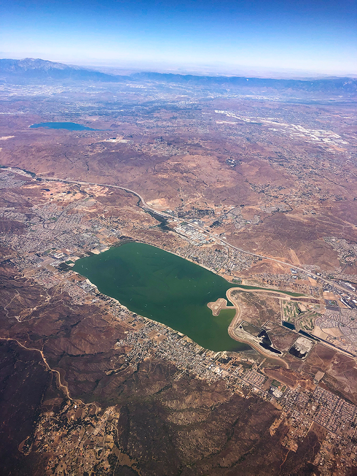
Historical aerial photographs are available for most of Western Riverside County from 1931 to the present available through our County Flight collection representing various dates in time. Full coverage of Riverside County is found in our 1990 and 1995 county flights. Stereo coverage is available through our county flight images. Please specify location & year(s) needed when requesting aerial images. Current aerial images are available in color but the majority of our historical aerial images are black & white.
- Photo Duplicate Contact Print (9”x9”) $25.00
- Additional Contact Prints (9”x9”) $11.00 ea.
- Surcharge on 1990, 1995, 2000, 2005 & 2010 County Flight Prints $9.00 ea.
- Digital Image (JPEG or TIFF) file $25.00 per image + Surcharge (if applicable)
Note: Other available services provided by our Photogrammetry section include enlargements up to 20x, mosaics & foam board mounting.
Please call (951) 955-1220 or email [email protected] for more information and to place an order.